1a Artist in Residence Programme
9 November
to
23 November, 2020
Abby Sohn
Made in Roath Remote Residency

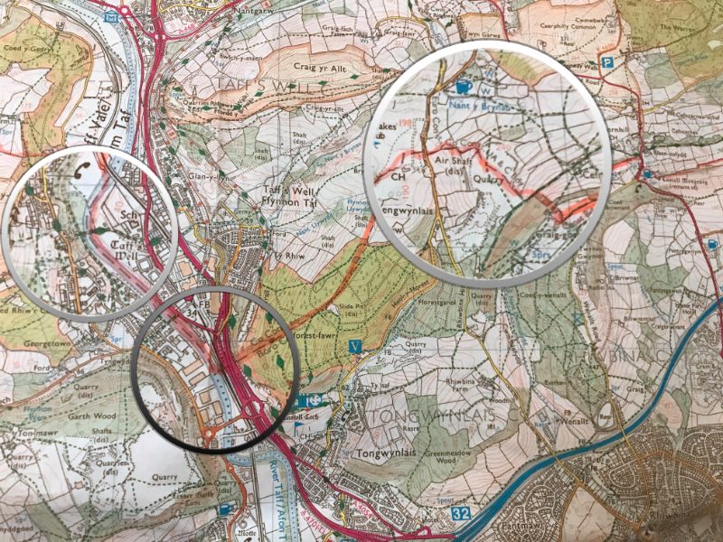
From November 9th to November 23rd 2020 @abbyhsohn will be conducting preliminary research that will be used toward a larger project. The Cardiff County Council area lockdown map published in September 2020, will be used as a vehicle for exploring themes around visible, invisible, imaginary and ‘historic’ boundaries. Some initial considerations are:
- Who defines our public spaces and boundaries?
- What is meant by local and how do we feel about proximity?
- How do the constantly changing restrictions around Covid 19 and social distancing effect our experiences of and connections to public and green spaces?
- How do we remain connected and supportive during the Covid 19 pandemic?
@abbysohn3
@abbysohnart
1a AiR - Past Residencies
View artists from previous residencies.